Low-pressure system delivers 3 inches of rain to Fargo region
Heavy precipitation and 35 mph gusts are forecast to persist through Tuesday's Election Day voting.
By Kavya Lin ·
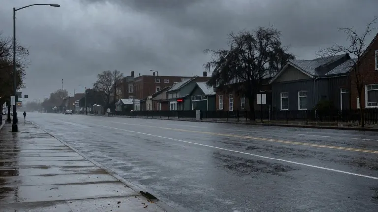
A complex low-pressure system will dump two to three inches of rain on the central and southern parts of the Fargo region by Tuesday night. Meteorologists say the weather event will bring steady, soaking precipitation that lingers into Election Day.
Rain showers are expected to begin lifting from the southwest Sunday night and continue through Monday morning. The heaviest rainfall will push in between mid-morning and late evening Monday. Forecasters indicate the heaviest rain will likely stay south of Highway 200. Wraparound showers will linger into Tuesday, with a chance of light rain in some areas. Northwest Minnesota may see lingering showers well into Wednesday morning. Northern areas are expected to receive less rain than the central and southern zones.
Strong wind gusts between 25 and 35 mph are forecast for the period between Monday and Tuesday. These winds will drag cool air into the region, causing temperatures to drop from the 50s on Monday to the 40s on Tuesday. Monday will be the warmest day of the workweek, with cloud cover and strong winds keeping temperatures in the 50s throughout the day. The wind direction will shift Monday night into Tuesday, driving temperatures back down into the 40s.
The weather maker will bring measurable rain and strong winds that may affect Election Day conditions. Model guidance suggests the active weather pattern will persist through the voting day. After the system rolls out of the region, the rest of the week will be partly to mostly cloudy. Dry, rain-free weather is expected during that time.
The forecast calls for a seasonably cool remainder of the week. Lows will range in the 30s and highs in the 40s. By the weekend, some areas will return to the 50s. The first week of November will start with active weather and end with drier conditions.
Specific daily forecasts for the Fargo area show cloudy skies and overnight rain Sunday night with southeast winds of 10 to 20 mph and gusts to 25 mph. The low will be 54 degrees. Monday will feature likely rain and wind with east winds of 15 to 25 mph and gusts over 30 mph. The high will reach 58 degrees. Tuesday, Election Day, will see scattered showers and wind with a low of 44 and a high of 48 degrees. Wednesday will be mostly cloudy with few morning showers and breezy conditions, with a low of 39 and a high of 51. Thursday will be mostly cloudy with a low of 36 and a high of 46. Friday will be mostly cloudy with a low of 32 and a high of 47. Saturday will be mostly cloudy with a low of 33 and a high of 50.
Source: KVLY-TV