Mason-Dixon Survey Map Sells for $950,000
An anonymous buyer outbid 44 other competitors for the 1768 document that defined the border between Maryland and Pennsylvania.
By Kavya Lin ·
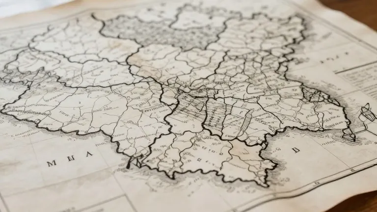
A hand-drawn map from 1768 depicting the Mason-Dixon Line sold for $950,000 on Thursday. The auction took place at Brunk Auctions in Asheville, North Carolina, and was conducted both online and in person. Forty-five bidders competed for the document, with the final transaction concluding in under three minutes.
The starting bid was $400,000. Although the final price fell short of the $1.2 million high estimate, Lauren Brunk, vice president of the auction house, expressed satisfaction with the result. She described the sum as a very high price for a map. Brunk confirmed that the buyer requested anonymity at least for the immediate future.
Charles Mason and Jeremiah Dixon completed the original survey in 1768. They were commissioned to resolve a border dispute between the colonies of Maryland and Pennsylvania. The line later served as a reference point in the 1820 Missouri Compromise, which set limits on the expansion of human bondage. The boundary became a symbol of the national division that led to the Civil War four decades after the compromise.
The map has a distinct ownership history. Publisher Malcolm Forbes purchased it in 1982 for $360,000, defeating the Library of Congress in that bid. The document was resold in 2002 for $556,000. Brunk noted that the Library of Congress did not participate in Thursday's bidding. She stated that the auction house was honored to steward the map through this transition to its new owner.
A vertical section of the map showing the Delaware-Maryland border is currently housed at Princeton University. The main document sold on Thursday represents the broader survey that has been central to American geographic and political identity since the eighteenth century.
Source: Orange County Register