Tesla Adopts Fleet-Based Mapping to Address FSD Navigation Gaps
A decade after dismissing the need for detailed charts, Tesla is now leveraging its vehicle fleet to build proprietary maps, aiming to resolve persistent issues with speed limit recognition and routing.
By Pavel Henderson ·
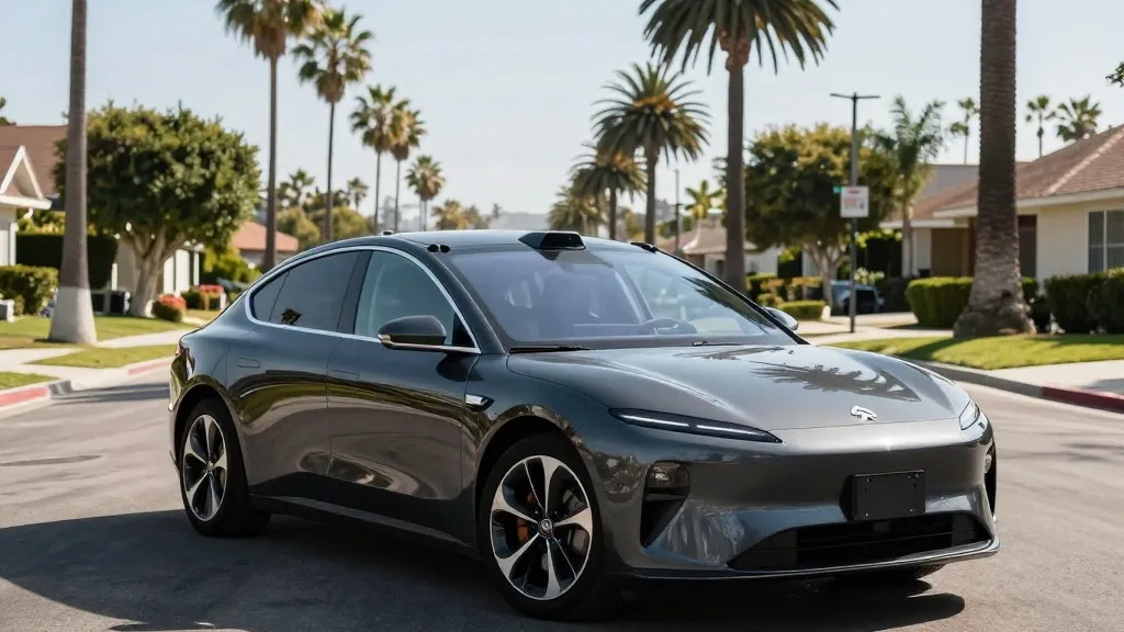
In 2015, Tesla claimed to be constructing high-precision maps with a level of granularity 100 times greater than standard navigation software, signaling an early commitment to detailed environmental data. That initial ambition has now evolved into a concrete operational strategy, as the automaker has confirmed it is developing its own mapping infrastructure to stabilize its Full Self-Driving (FSD) system.
The most pressing driver for this strategic pivot is the system’s continued difficulty in interpreting basic road information. Specifically, FSD struggles with accurately reading speed limits, identifying parking options, and selecting optimal routes. These are not edge-case anomalies but frequent failures that undermine user confidence and safety, particularly in complex urban environments where static visual cues are often ambiguous or obscured.
Ashok Elluswamy, Tesla’s VP of AI, outlined the new approach during the company’s Q3 2026 earnings call. He stated that Tesla is building a proprietary mapping and navigation architecture powered by artificial intelligence. This system will be fed by collective data from the vehicle fleet, allowing it to learn not only road conditions but also individual driver preferences. Elluswamy emphasized that the company should no longer depend on external providers for this critical data layer.
The rollout of this technology is phased. With the upcoming FSD v15 update, the new mapping layer will initially handle the beginning and end of trips. Over the following months, Tesla plans to expand its role to include full navigation, destination handling, and parking assistance. This incremental integration suggests a cautious approach, prioritizing reliability in simpler scenarios before tackling the complexities of continuous highway or city driving.
This development marks a significant departure from the company’s historical stance. In 2019, CEO Elon Musk publicly criticized high-precision lane maps as a “huge mistake,” arguing that reliance on them made self-driving systems “extremely brittle.” At the time, Tesla positioned its camera-and-AI-centric approach as superior to competitors who used lidar and detailed charts. The current shift toward fleet-built maps indicates that pure vision-based perception is insufficient for certain environmental tasks, forcing a pragmatic compromise with the methods Tesla once dismissed.
The necessity of this map layer is highlighted by recent performance data. Last month, a Belgian road safety group found that FSD exceeded speed limits in 55% of the 30 km/h zones tested in Brussels, averaging 44 km/h, often because the vehicle’s interface displayed an incorrect 50 km/h limit. Similarly, the U.S. National Highway Traffic Safety Administration is considering an investigation into claims that Tesla Robotaxis speed through active school zones. If a vision system cannot reliably process a simple speed limit sign, a supplementary data source becomes less of an option and more of a requirement.
Consequently, Tesla’s fleet is increasingly functioning as a mapping tool, mirroring the operational model of Waymo. Waymo has long used its sensor-equipped vehicles to pre-map cities and update those maps continuously. While Tesla does not claim to be building centimeter-level HD maps today, the principle of using fleet data to create a shared, improving knowledge base is identical. This approach aligns with Tesla’s current Robotaxi operations, which function within specific geofenced areas, further suggesting that the “anywhere, anytime” vision of the past is being refined into a more localized, data-rich reality.
For California drivers and the broader EV market, this shift implies a maturing technology that acknowledges the limits of pure perception. By integrating a proprietary map, Tesla aims to reduce the frequency of navigation errors, potentially accelerating the timeline for unsupervised driving capabilities. However, it also validates the argument that detailed environmental data remains a cornerstone of safe autonomous navigation, regardless of the sensor suite used to collect it.
Source: Electrek · original report published